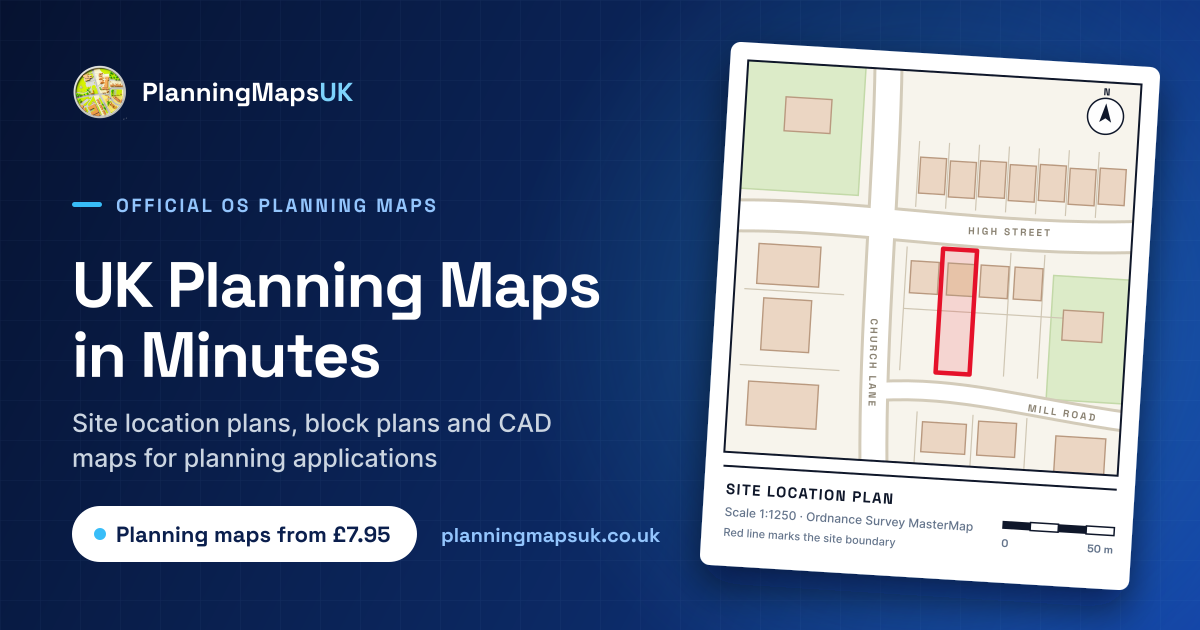
Planning Maps UK has launched an online tool that lets homeowners and property professionals create Ordnance Survey-licensed site and location plans for planning applications in minutes.
Users can search an address, mark the site boundary and download plans at 1:200, 1:500, 1:1250, 1:2500 and larger scales, with the required Ordnance Survey licence included. DWG and DXF files are also available for architects, surveyors and other CAD users.
###